Land surveying

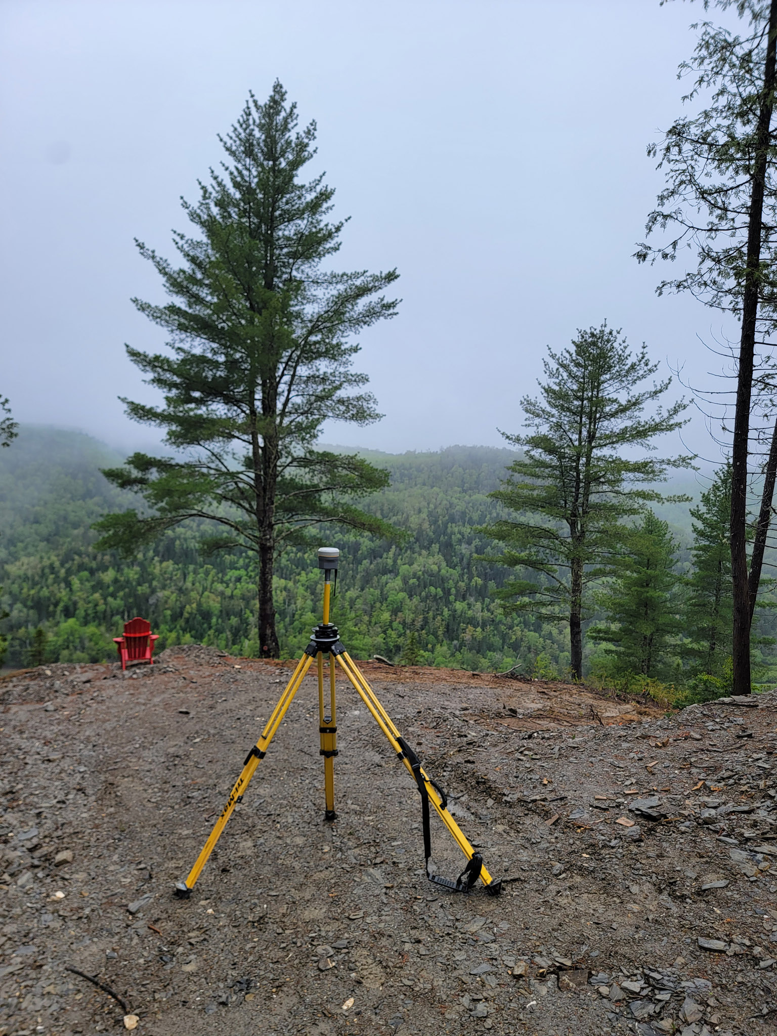
Land surveying involves determining location, describing land areas and demarcating the boundaries of a property. It is governed by Section 34 of Québec’s Land Surveyors Act. In order to produce the required documents (plans, certificates, reports, appraisals, etc.), land surveyors take into account a number of technical and legal aspects in compliance with rigorous, structured and defined rules. If you are unsure about the nature of the document you need, do not hesitate to contact us for expert advice.

Services provided:

  • Location certificate
  • Layout
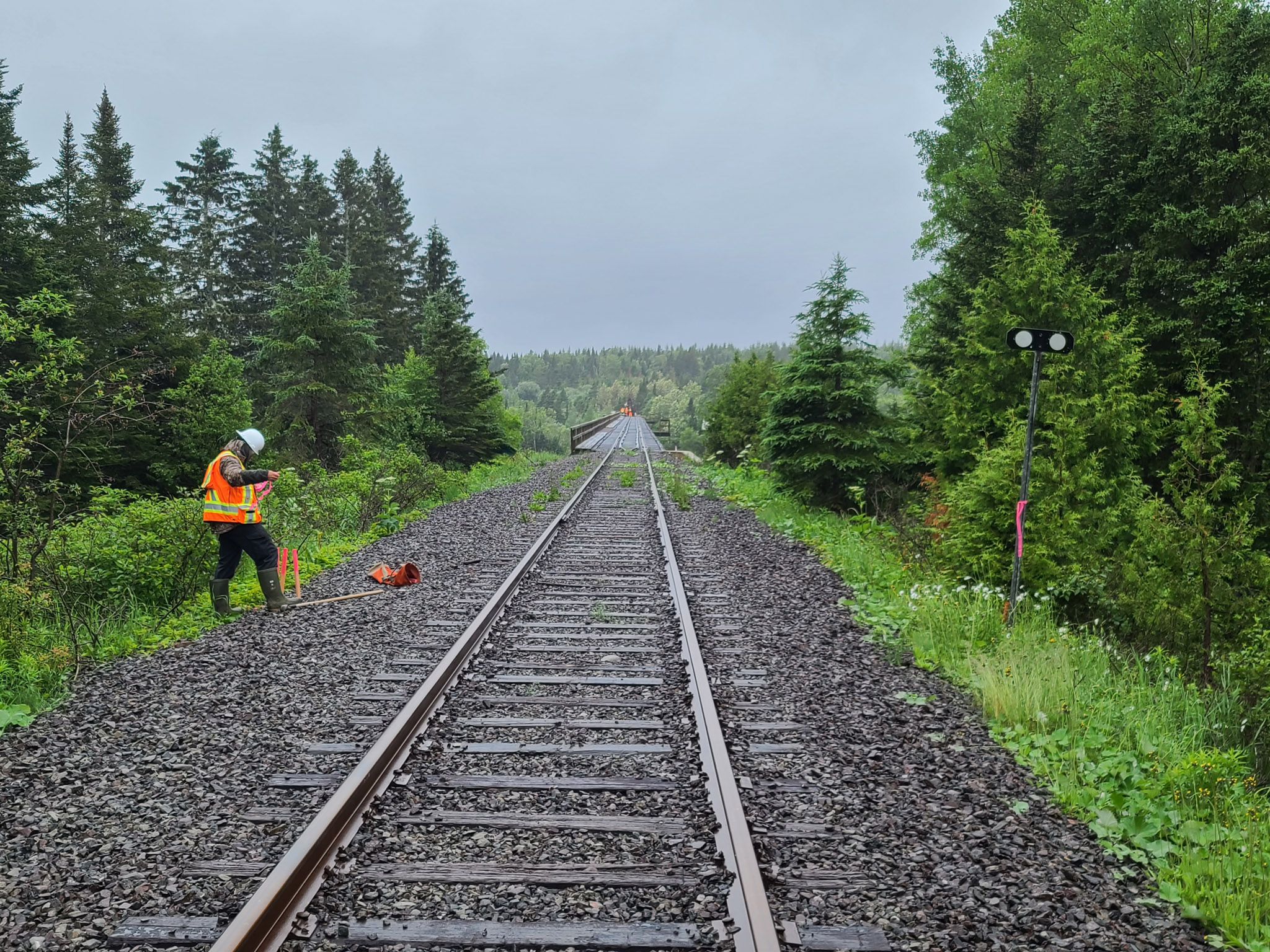
  • Staking
  • Boundary marking
  • Technical and/or legal description
  • Cadastral operation
  • Original survey (Surveyor-General of Québec)
  • Canada Lands Survey (in partnership)
  • And many others

Technical surveying

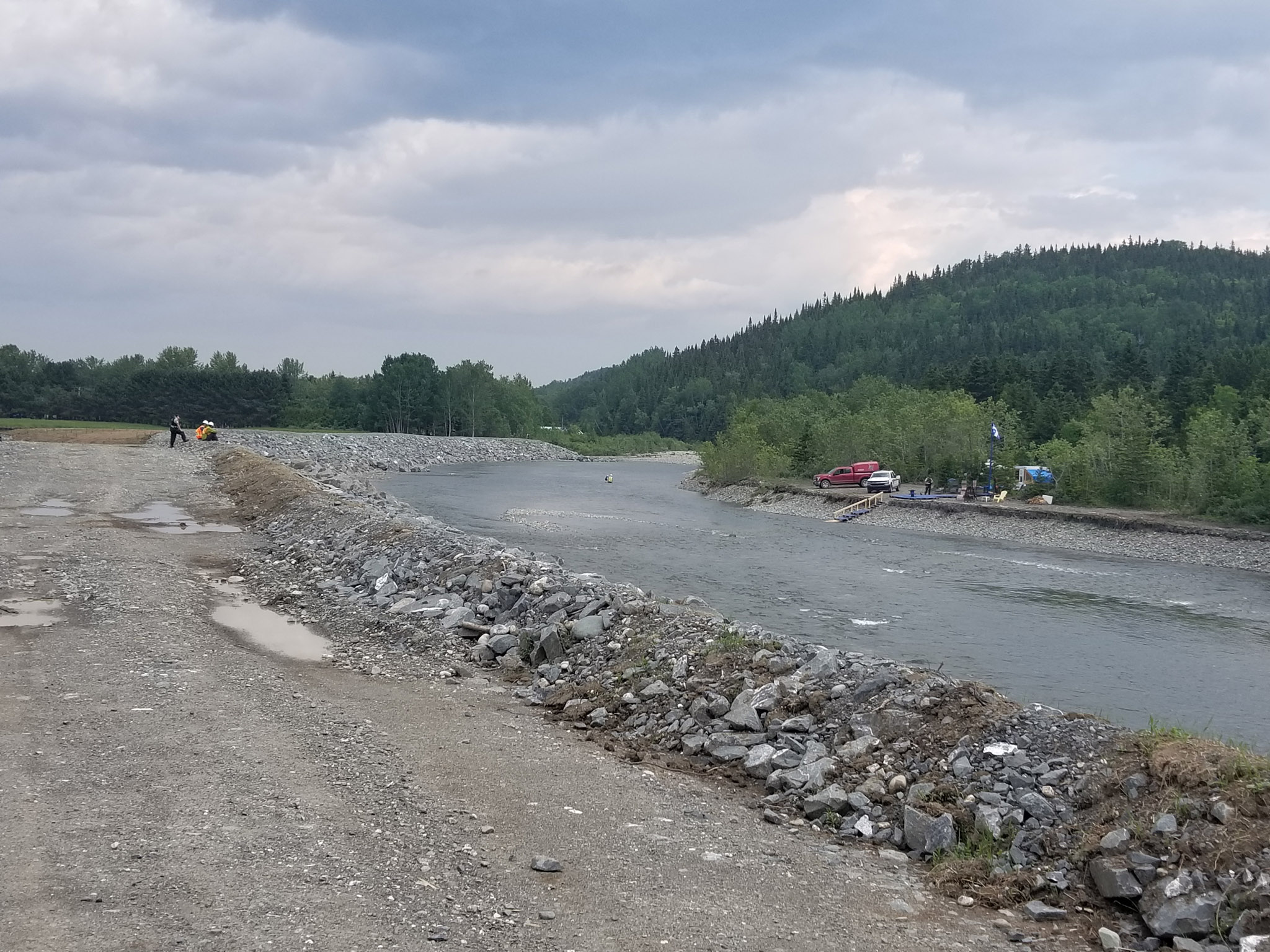
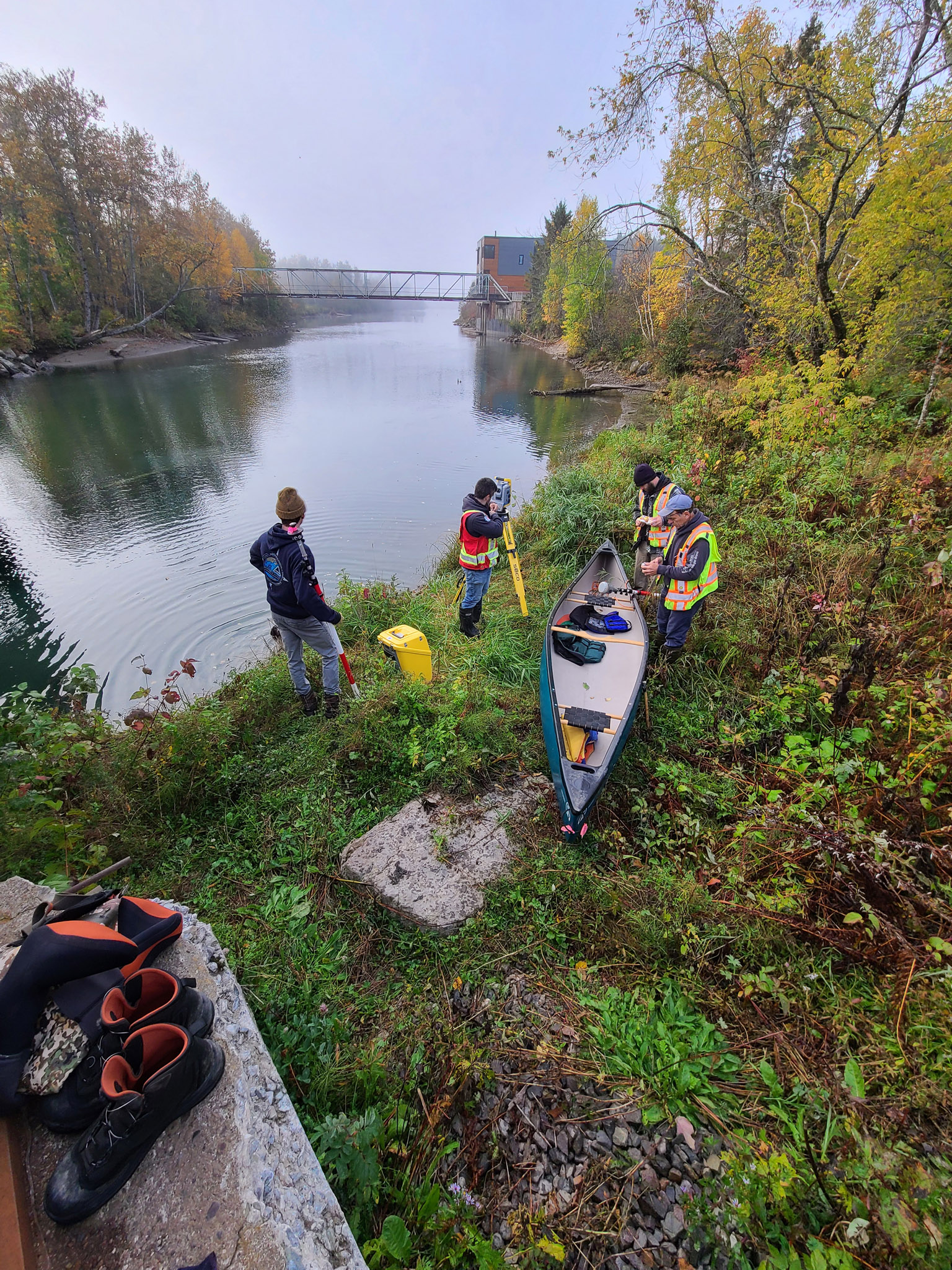
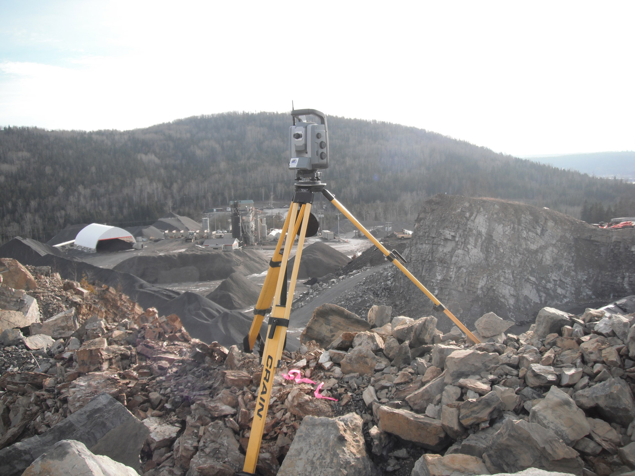
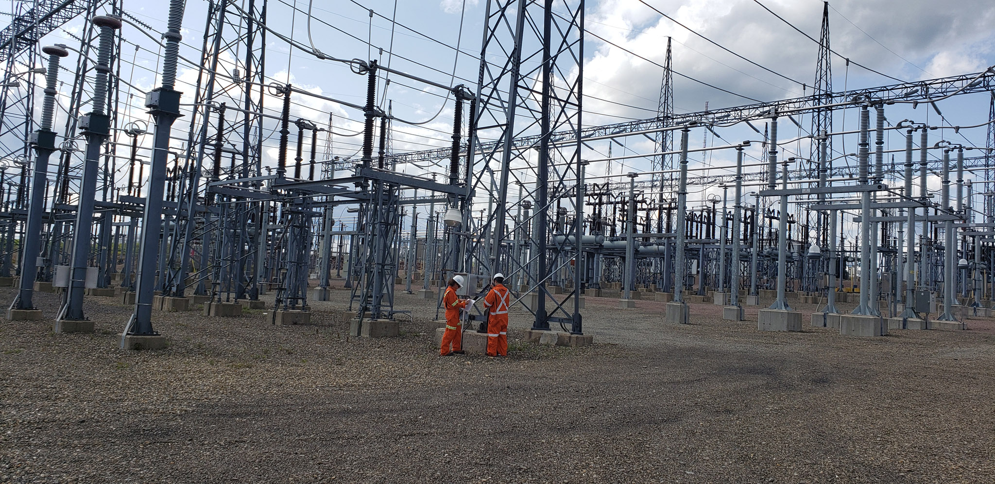
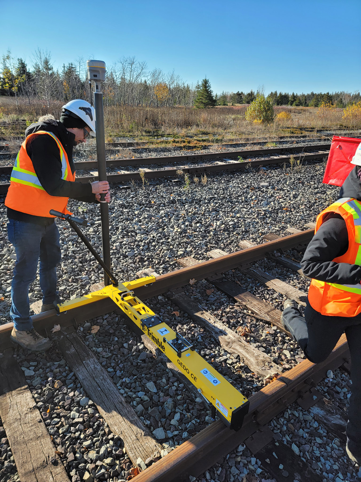
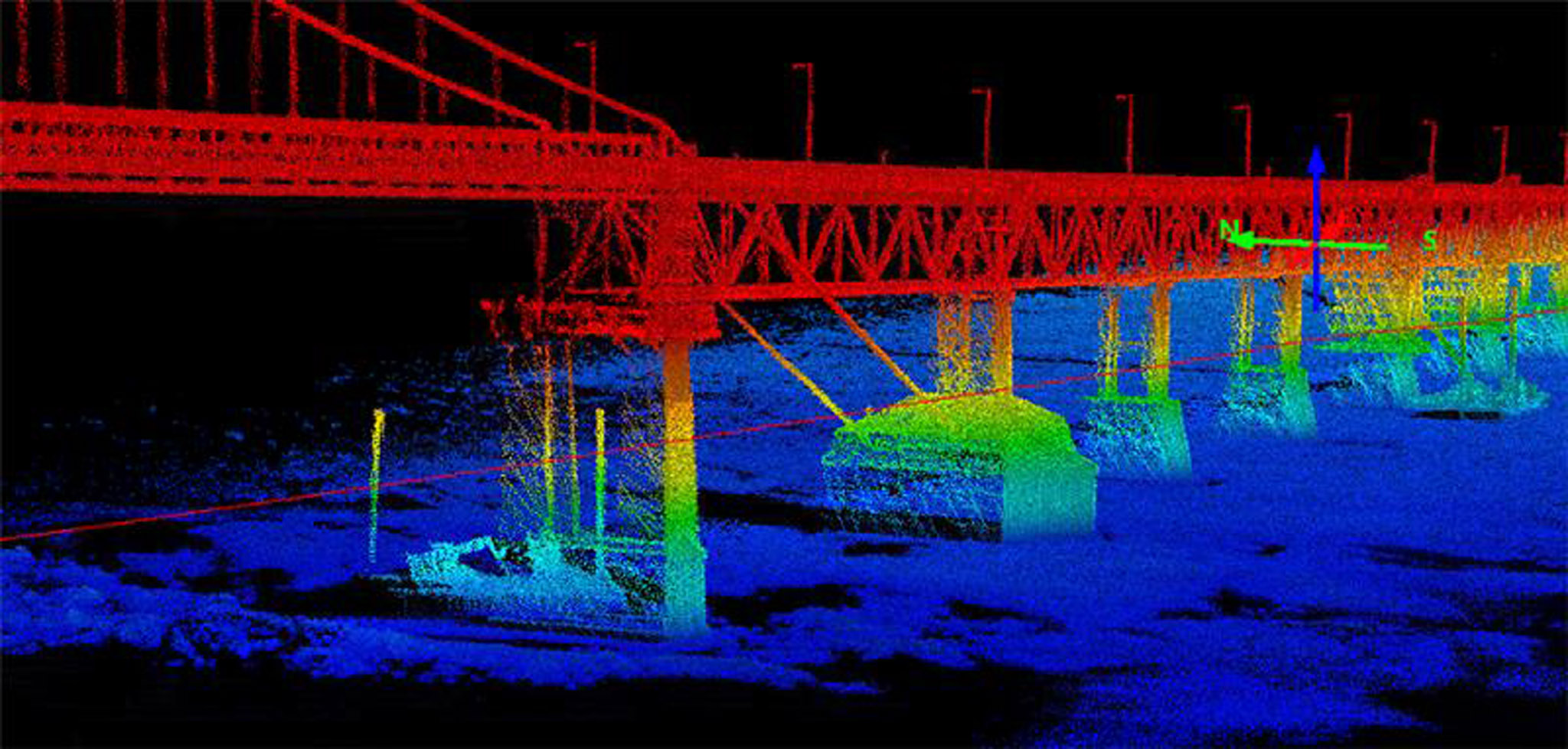
Undertaken in various contexts (quarries, roads, civil projects, agricultural land, wooded and wetland areas, waterways, port infrastructure, etc.), technical surveying work is mainly aimed at collecting topographic and/or location, bathymetric, gauging or other data. These data are used to produce plans, specifications, reports or expert opinions.

Services provided:

  • Topographic surveys
  • Survey plans
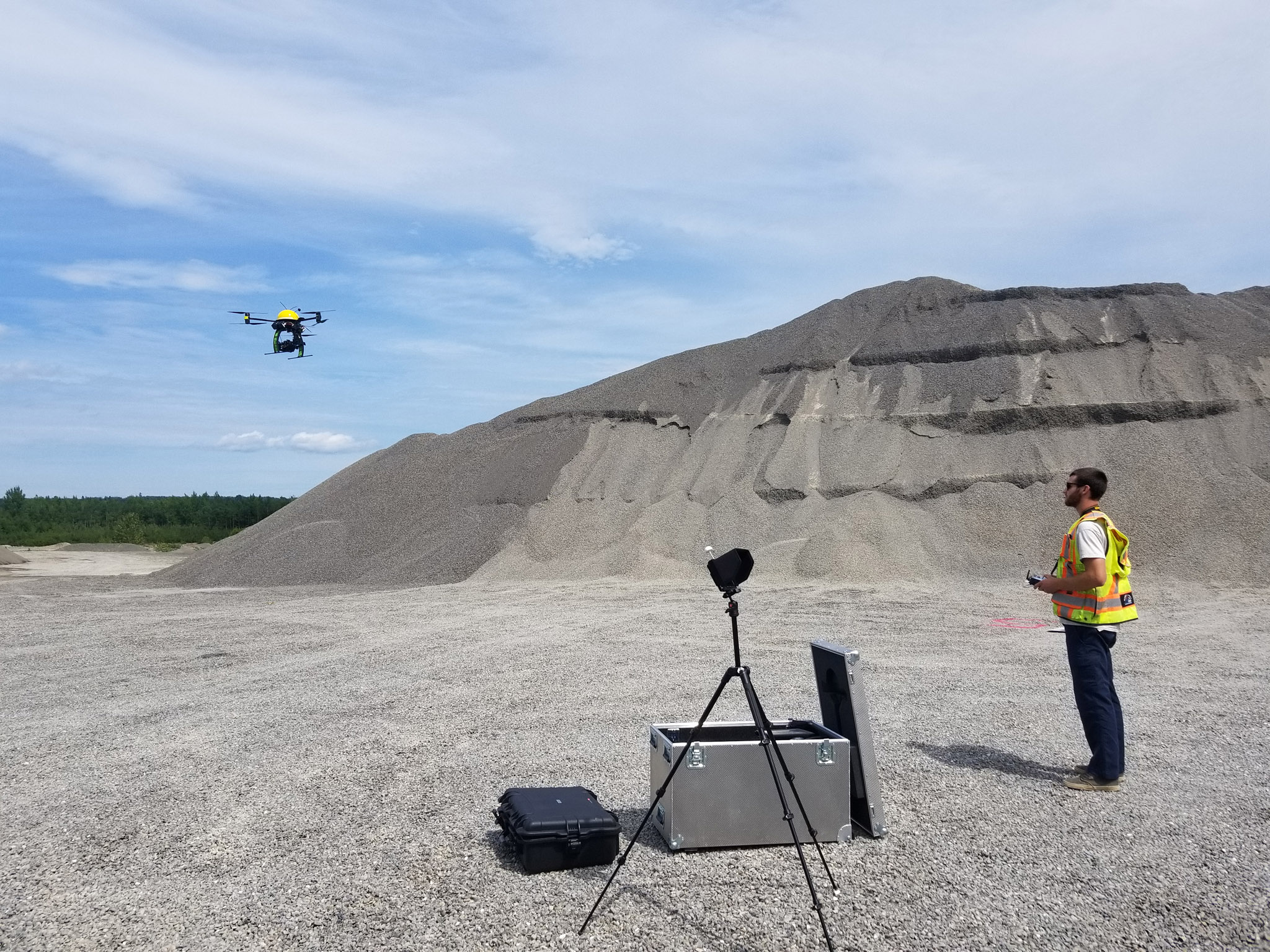
  • Volumetry
  • Inventory follow-ups
  • As-built surveys (after site construction)
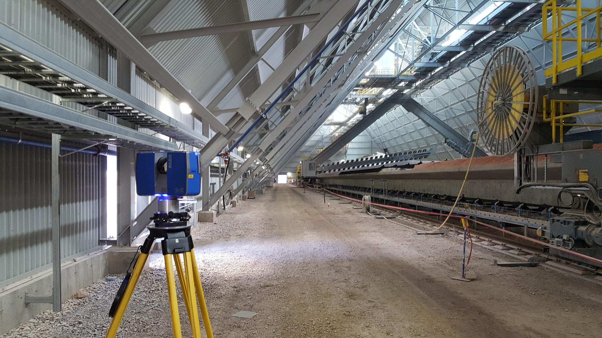
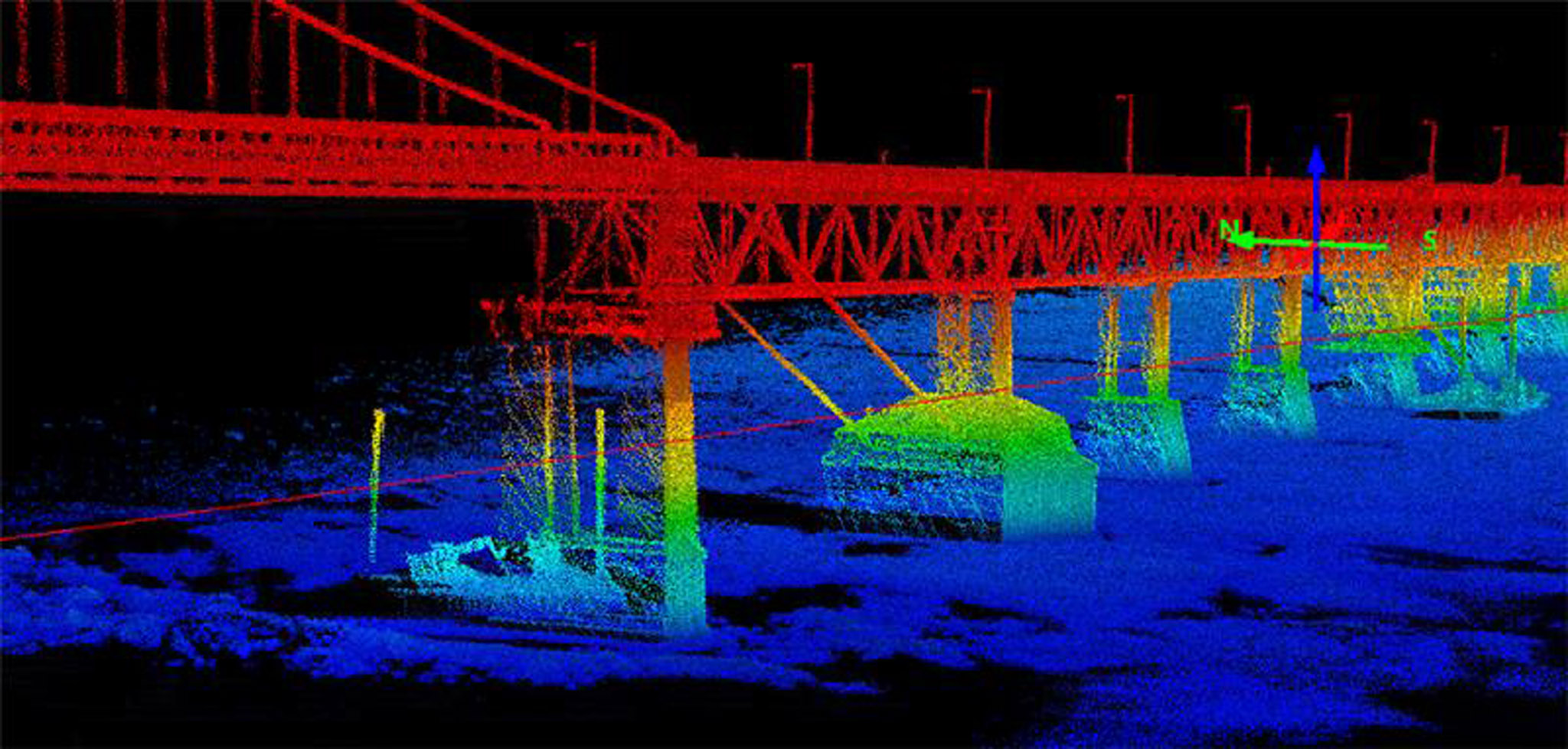
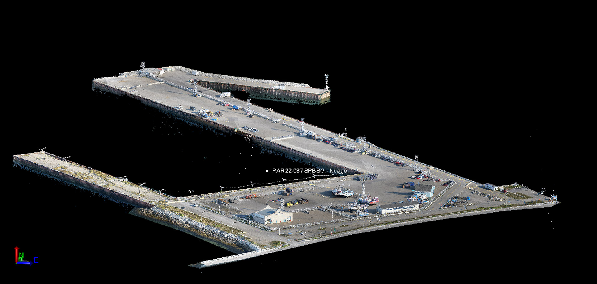
  • Digitisation of structures
  • LiDAR surveys
  • Digital terrain models
  • Digital surface models
  • Photogrammetry
  • Precision levelling
  • Bathymetric surveys
  • River gauging
  • Mapping

Aerial surveying

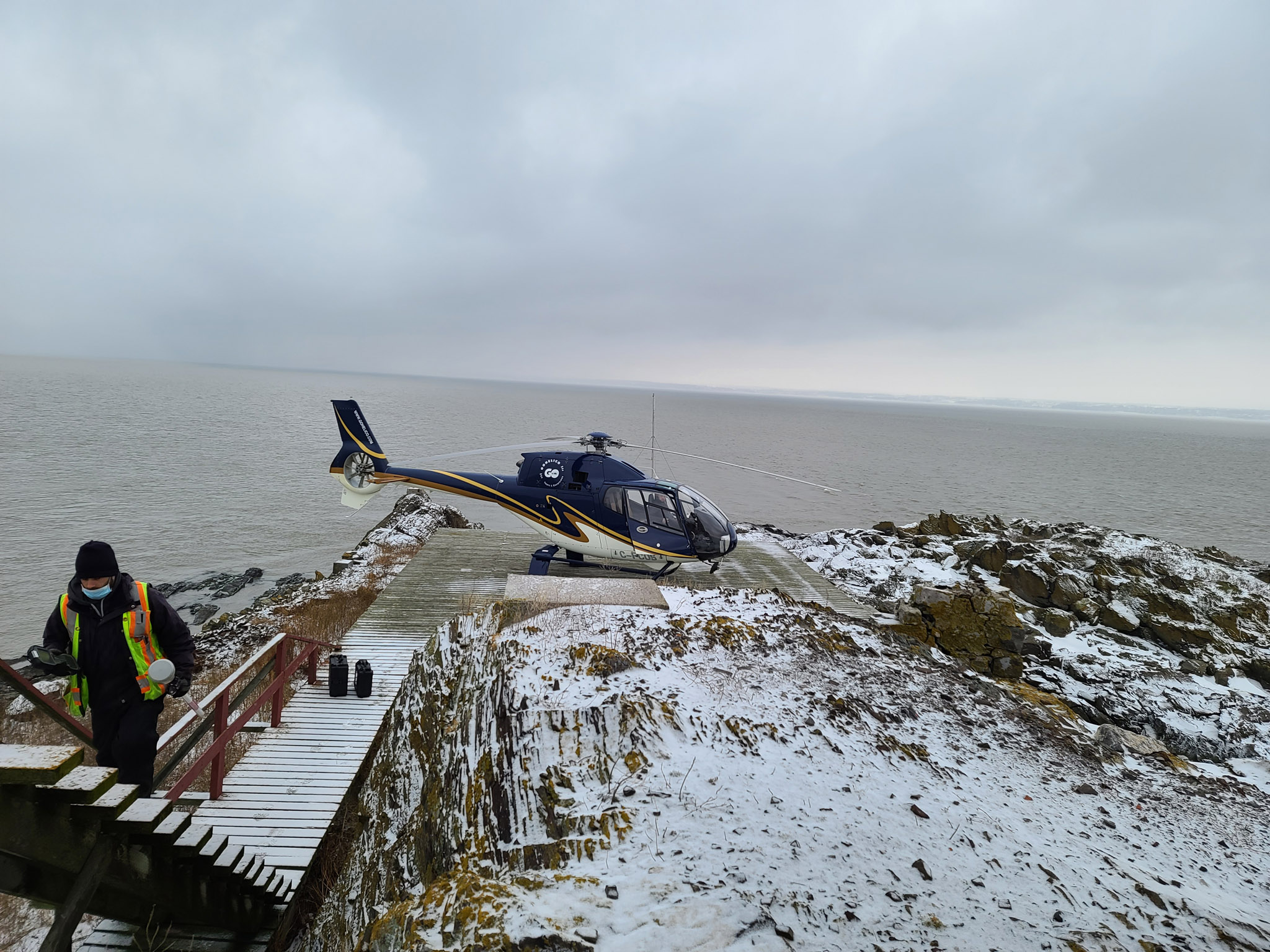
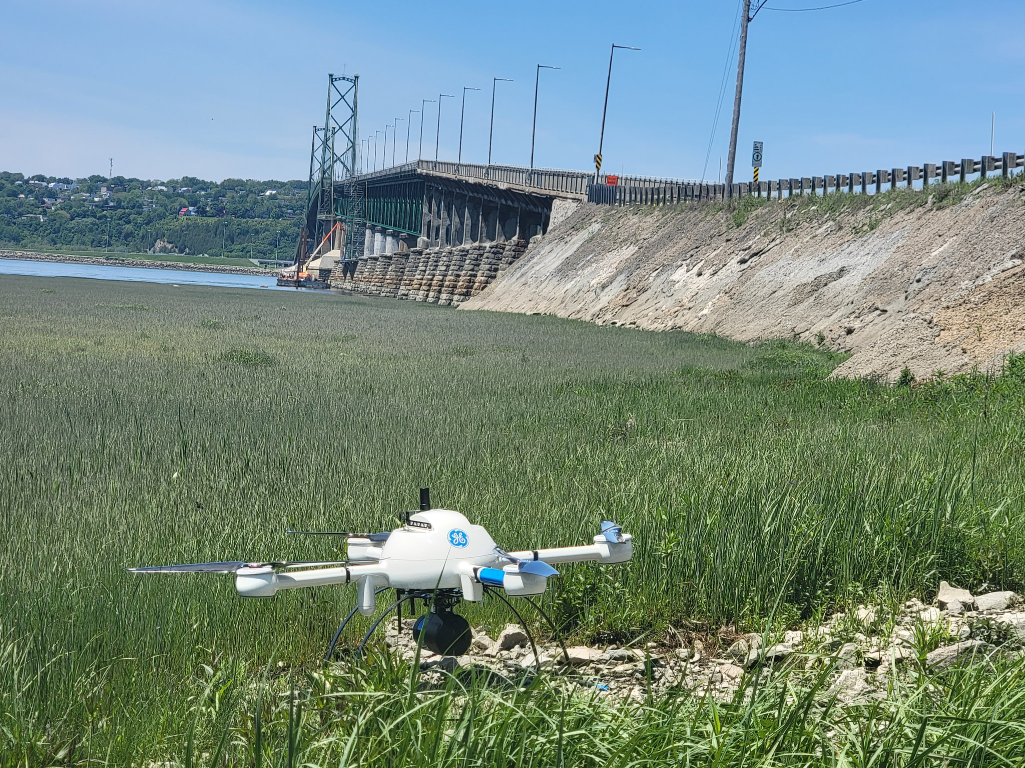
Géoterram’s Arpentage Parleciel division can perform drone surveys and produce aerial imagery of large areas and hard-to-reach locations with a high degree of accuracy. In addition to inventory measurement and inspection, services include the production of geo-referenced orthoimages and precision point clouds for legal and technical surveying.

Services provided:

  • Orthoimage
  • LiDAR
  • Digital terrain models
  • Digital surface models
  • Vertical and oblique imagery
  • Structural inspections
  • Volumetry
  • Topography

Membre de l'Ordre des Arpenteurs-Géomètres du Québec

Land surveyors perform their duties under the oversight of the Ordre des arpenteurs-géomètres du Québec. To learn more about a particular service, please contact us.

To learn more about the range of services offered by Géoterram and its division Arpentage Parleciel or to obtain a detailed description of their services, please contact us.


Contact us